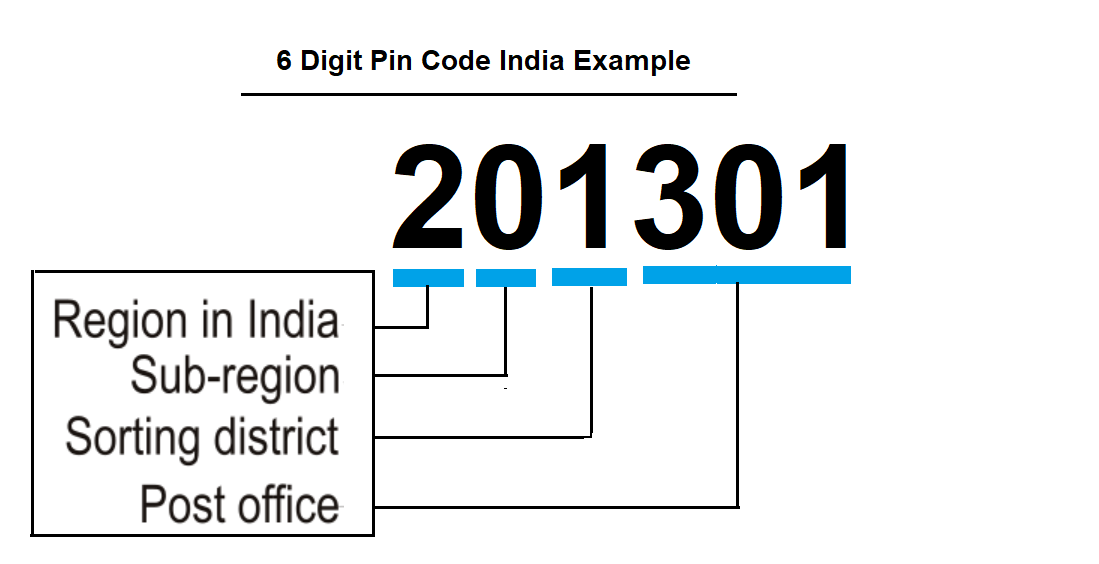
Pincode or Zip code is an unique Post office number system used to sort and deliver post in correct address. Each Pin code is mapped to area. This is a 6-digit code that is used to identify the specific geographic location and area in India. The first digit of the PIN code represents the region, the second digit represents the sub-region, the third digit represents the sorting district within the region, and the last three digits represent the delivery post office. In Some country it is called as Zip code or Postcode.
(1)
Sector 20 Panchkula Post Office situated in district of PANCHKULA state of HARYANA, INDIA.
Post Office Name | Sector 20 Panchkula | Post Office Type | Sub Post Office (S.O) |
Pincode | 134117 |
District | PANCHKULA |
Address | Sector 20 Panchkula, PANCHKULA, INDIA - 134117 |
Postal Division | Ambala Division |
State | HARYANA |
A. The Pin code 134117 belongs to Sector 20 Panchkula, PANCHKULA, HARYANA.
A. The Place Sector 20 Panchkula pin code is 134117 which is under PANCHKULA, HARYANA.
A. The pin code 134117 is under PANCHKULA, HARYANA.
A. You can detect your pin code using your device location service. For this you have to allow location once you click on find pin code by location. This link will find your pin code automatically.
The pin code informations which is provided here sourced from official website of Indaa Postal website. We have just represented it differently for easy to use for our visitor. The data last updated 10 Nov 2022. Anyone can take the information for free, still we do not guarantee its correctness for legal purposes. You should cross verify it from Indian postal website before using any legal documents or any other purposes. We are not responsible for any damage or loss incur due this information.
Subscribe to Our newsletter to get updates on site and other useful information